SUMMARY
This is AI generated summarization, which may have errors. For context, always refer to the full article.
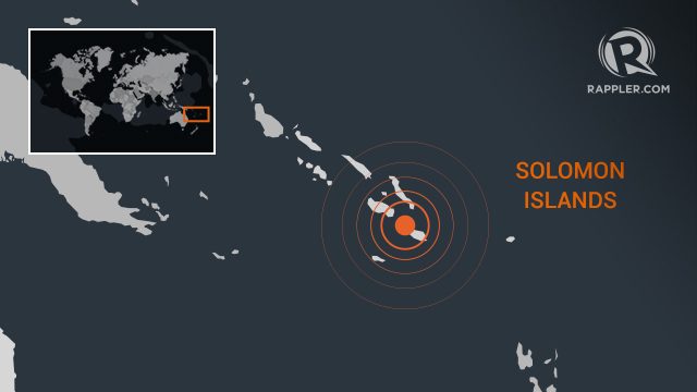
SYDNEY, Australia (UPDATED) – A 6.3-magnitude earthquake hit the Solomon Islands on Monday, January 27, the US Geological Survey said, but no tsunami warning was issued.
The powerful quake struck just after 4 pm (0500 GMT) at a depth of 17.7 kilometres (11 miles) some 140 kilometres (90 miles) southeast of the Pacific nation’s capital Honiara, the USGS added.
The Solomon Islands Met Service said there was no tsunami threat from the undersea quake.
Garedd Porowai, marketing team leader for Solomon Islands Tourism, said the tremor was “not the biggest” he had felt but it “gave us quite a jolt here in the office”.
There was no visible evidence of damage in Honiara’s central business district, he added.
The Solomon Islands are regularly rocked by strong quakes.
In 2013, the country was hit by a tsunami after an 8.0-magnitude quake, leaving at least 10 people dead and thousands homeless after buildings were destroyed. – Rappler.com
Add a comment
How does this make you feel?
There are no comments yet. Add your comment to start the conversation.