SUMMARY
This is AI generated summarization, which may have errors. For context, always refer to the full article.
What’s the weather like in your area? Report the situation through Rappler’s Agos or tweet us at @rapplerdotcom.
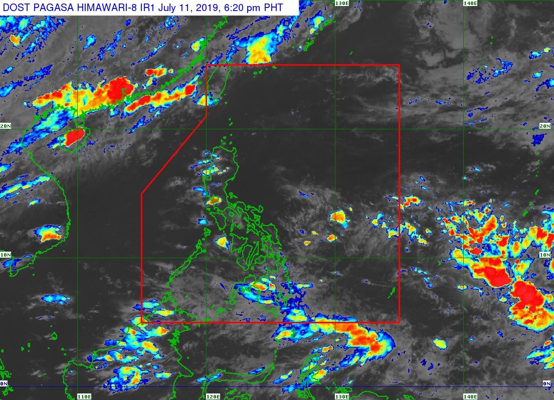
MANILA, Philippines – The trough or extension of a low pressure area (LPA) is affecting parts of Mindanao.
In a Facebook Live video past 4 pm on Thursday, July 11, the Philippine Atmospheric, Geophysical, and Astronomical Services Administration (PAGASA) said the LPA is located outside the Philippine Area of Responsibility.
Its trough is bringing scattered rainshowers and thunderstorms to the following areas:
- Zamboanga Peninsula
- Bangsamoro Autonomous Region in Muslim Mindanao
- Soccsksargen
- Davao Region
Flash floods and landslides are possible if the rain becomes heavy. (READ: FAST FACTS: Tropical cyclones, rainfall advisories)
The rest of the country, not affected by the trough of the LPA, will only have isolated rainshowers or localized thunderstorms.
The southwest monsoon or hanging habagat, meanwhile, remains weak. This period is called a monsoon break and it lasts a few days up to two weeks.
So far, the Philippines has had 5 tropical cyclones in 2019, all classified as tropical depressions. (READ: LIST: PAGASA’s names for tropical cyclones in 2019)
The Philippines gets an average of 20 tropical cyclones annually, but since 2019 is an El Niño year, only 14 to 18 tropical cyclones are expected.
Below is the estimated number of tropical cyclones from July to December:
- July – 2 or 3
- August – 2 to 4
- September – 2 to 4
- October – 2 or 3
- November – 1 or 2
- December – 0 or 1
PAGASA declared the start of the rainy season last June 14. – Rappler.com
Add a comment
How does this make you feel?
There are no comments yet. Add your comment to start the conversation.