SUMMARY
This is AI generated summarization, which may have errors. For context, always refer to the full article.
What’s the weather like in your area? Tweet us at @rapplerdotcom.
MANILA, Philippines – Parts of the country will have some more rain due to the trough or extension of a low pressure area (LPA) and the southwest monsoon or hanging habagat.
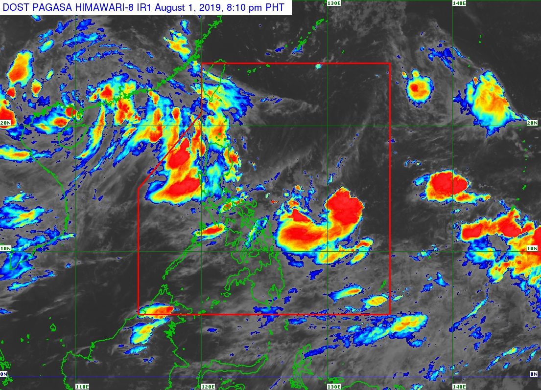
In a bulletin issued 4 pm on Thursday, August 1, the Philippine Atmospheric, Geophysical, and Astronomical Services Administration (PAGASA) said the LPA is now 980 kilometers east of Virac, Catanduanes.
PAGASA earlier said the LPA is unlikely to develop into a tropical depression, but its trough or extension has been bringing some rain.
Isolated rainshowers and thunderstorms due to the trough of the LPA will persist in the following regions:
- Bicol
- Eastern Visayas
- Caraga
Meanwhile, the southwest monsoon will trigger scattered rainshowers and thunderstorms in these areas:
- Ilocos Region
- Cordillera Administrative Region
- Zambales
- Bataan
Flash floods and landslides are possible during severe thunderstorms. (READ: FAST FACTS: Tropical cyclones, rainfall advisories)
The rest of the country, not affected by the trough of the LPA or the southwest monsoon, will have generally fair weather with only localized thunderstorms.
So far, the Philippines has had 7 tropical cyclones in 2019. (READ: LIST: PAGASA’s names for tropical cyclones in 2019)
The country gets an average of 20 tropical cyclones annually, but since 2019 is an El Niño year, only 14 to 18 tropical cyclones are expected.
Below is the estimated number of tropical cyclones from August to December:
- August – 2 to 4
- September – 2 to 4
- October – 2 or 3
- November – 1 or 2
- December – 0 or 1
PAGASA declared the start of the rainy season last June 14. – Rappler.com
Add a comment
How does this make you feel?
There are no comments yet. Add your comment to start the conversation.