SUMMARY
This is AI generated summarization, which may have errors. For context, always refer to the full article.
What’s the weather like in your area? Tweet us at @rapplerdotcom.
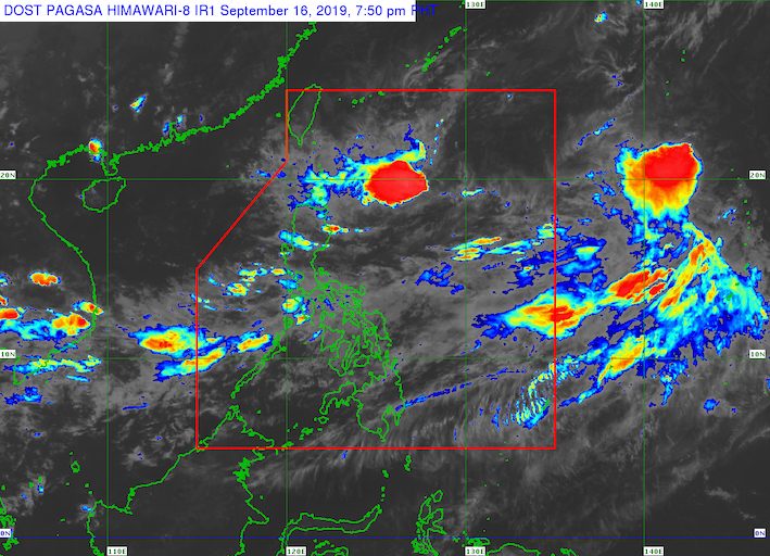
MANILA, Philippines – The southwest monsoon or hanging habagat will continue to trigger rain in parts of Luzon and the Visayas, while two low pressure areas (LPAs) inside the Philippine Area of Responsibility (PAR) and a tropical storm outside PAR are being monitored.
In a bulletin issued 4 pm on Monday, September 16, the Philippine Atmospheric, Geophysical, and Astronomical Services Administration (PAGASA) said the southwest monsoon is still affecting Central Luzon, Southern Luzon, and Western Visayas.
Below is the expected rainfall from the southwest monsoon until Tuesday, September 17:
Monsoon rain
- Metro Manila
- Zambales
- Bataan
- Cavite
- Batangas
- Occidental Mindoro
Scattered rainshowers and thunderstorms
- rest of Central Luzon
- rest of Calabarzon
- rest of Mimaropa
- Bicol
- Western Visayas
PAGASA warned that flash floods and landslides are possible since the rain could become heavy. (READ: FAST FACTS: Tropical cyclones, rainfall advisories)
There are also two LPAs inside PAR.
One is located 280 kilometers west of Iba, Zambales, while the other is 895 kilometers east northeast of Basco, Batanes.
On the LPA west of Iba, PAGASA Weather Specialist Ariel Rojas said in a briefing, “Ito po ay mababa ang tsansa na maging isang bagyo at ito’y tumutulong sa paghila sa ating southwest monsoon.” (It only has a slim chance of becoming a tropical cyclone and it is helping pull the southwest monsoon.)
As for the LPA east northeast of Basco, Rojas explained that it is a system that formed from Tropical Depression Marilyn‘s very broad circulation the past week.
What will happen to the two LPAs?
“‘Yung LPA sa kanluran ng Luzon ay inaasahang tatama diyan sa mainland Luzon, at eventually ay magiging bahagi ng trough or extension nitong mas malakas na sirkulasyon dito sa taas (LPA east northeast of Basco). Ito ay magiging bagyo sa mga susunod na araw,” Rojas said.
(The LPA west of Luzon is expected to hit mainland Luzon, and eventually will become part of the trough or extension of the stronger circulation up here. This will become a tropical depression in the next days.)
When it develops into a tropical depression, it will be given the local name Nimfa. (READ: LIST: PAGASA’s names for tropical cyclones in 2019)
PAGASA is also monitoring a tropical storm outside PAR with the international name Peipah.
Tropical Storm Peipah is 2,295 kilometers east of extreme Northern Luzon, moving northwest at 45 kilometers per hour (km/h).
It has maximum winds of 65 km/h and gustiness of up to 90 km/h.
Rojas said Peipah appears unlikely to enter PAR.
The Philippines has had 13 tropical cyclones in 2019, with 3 of those in September.
The country gets an average of 20 tropical cyclones annually, but since 2019 is an El Niño year, only 14 to 18 tropical cyclones are expected.
Below is the estimated number of tropical cyclones from September to December:
- September – 2 to 4
- October – 2 or 3
- November – 1 or 2
- December – 0 or 1
PAGASA declared the start of the rainy season last June 14. – Rappler.com
Add a comment
How does this make you feel?
There are no comments yet. Add your comment to start the conversation.