SUMMARY
This is AI generated summarization, which may have errors. For context, always refer to the full article.
What’s the weather like in your area? Tweet us at @rapplerdotcom.
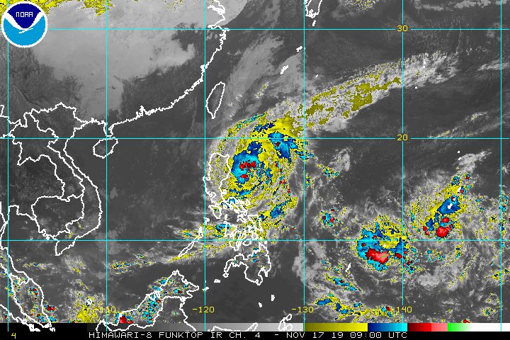
MANILA, Philippines – Tropical Storm Ramon (Kalmaegi) slightly accelerated on Sunday afternoon, November 17, on its way to extreme Northern Luzon. Its pace, however, has generally been slow.
In a briefing past 5 pm on Sunday, the Philippine Atmospheric, Geophysical, and Astronomical Services Administration (PAGASA) said Ramon is already 285 kilometers east northeast of Casiguran, Aurora.
It is now moving west at 15 kilometers per hour (km/h) from the previous 10 km/h.
Ramon continues to have maximum winds of 65 km/h and gustiness of up to 80 km/h.
The province of Apayao has been added to the list of areas under a tropical cyclone wind signal.
Signal No. 1 (winds of 30 km/h to 60 km/h)
- Cagayan, including Babuyan Island
- Apayao
- Isabela
- northern part of Aurora (Dilasag, Casiguran, Dinalungan)
Here is the latest on the expected rainfall from Ramon:
Sunday, November 17
- Light to moderate rain with intermittent heavy rain
- eastern part of Cagayan
- eastern part of Isabela
Monday, November 18
- Light to moderate rain with occasionally heavy rain
- Cagayan
- Isabela
- Apayao
- Kalinga
- Ilocos Norte
- Light to moderate rain with intermittent heavy rain
- Babuyan Group of Islands
- Abra
- Ifugao
- Mountain Province
- northern part of Aurora
- Quirino
Those areas must stay on alert for possible flash floods and landslides. (READ: FAST FACTS: Tropical cyclones, rainfall advisories)
Travel also remains risky, especially for small vessels, in the seaboards of areas under Signal No. 1, the seaboards of Northern Luzon, and the eastern seaboards of Central Luzon and Southern Luzon.
Based on Ramon’s latest forecast track, it might make landfall in Cagayan on Tuesday, November 19.
After hitting land, the tropical storm is projected to weaken into a tropical depression and then eventually into a low pressure area (LPA).
It could leave the Philippine Area of Responsibility (PAR) on Thursday, November 21.
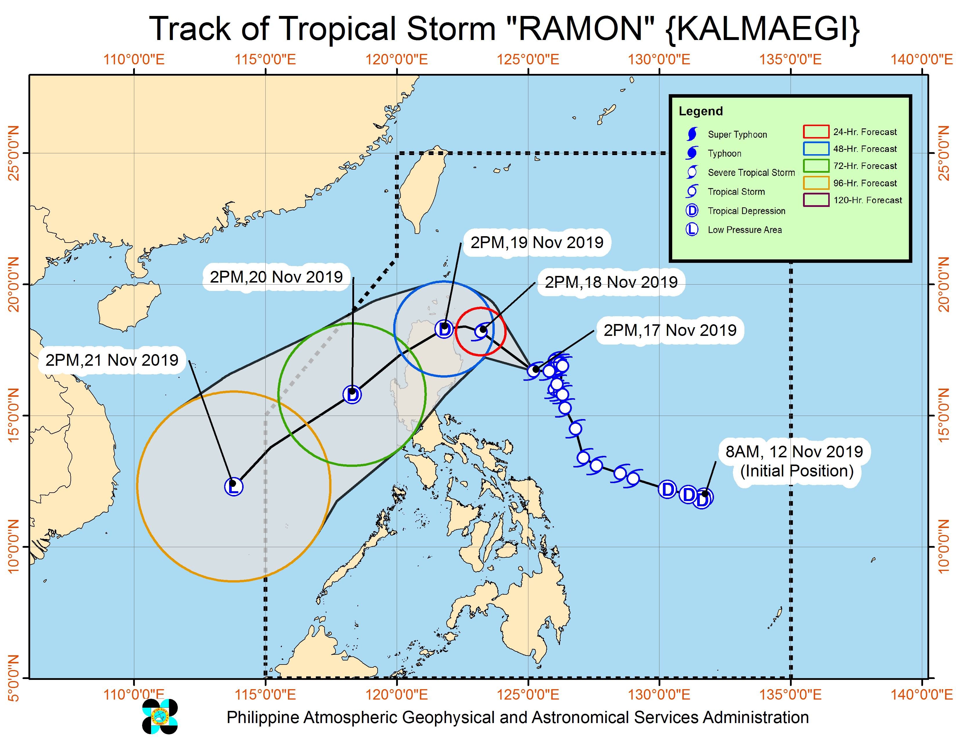
Ramon is the Philippines’ 18th tropical cyclone for 2019, and the 2nd for November.
Meanwhile, PAGASA continues to monitor an LPA outside PAR, which is now 2,210 kilometers east of the Visayas. It is expected to enter on Tuesday.
It could also become a tropical depression by the time it enters PAR. If it does, it would be given the local name Sarah. (READ: LIST: PAGASA’s names for tropical cyclones in 2019)
The country gets an average of 20 tropical cyclones annually, but since 2019 is an El Niño year, only 14 to 18 tropical cyclones are expected.
Below is the estimated number of tropical cyclones for the last two months of 2019:
- November – 1 or 2
- December – 0 or 1
PAGASA declared the start of the rainy season last June 14. – Rappler.com
Add a comment
How does this make you feel?
There are no comments yet. Add your comment to start the conversation.