SUMMARY
This is AI generated summarization, which may have errors. For context, always refer to the full article.

Since it was launched in the Philippines days ago, you might have witnessed, heard, or were part of any of these moments:
⦁ Fans walked from north EDSA to the People Power Monument just to visit Pokéstops.
⦁ Pedestrians almost got themselves killed while trying to “be the very best”.
⦁ An entire office lobby was filled with people “throwing” Pokéballs.
⦁ Neighbors met together for the first time in years because of a Pokégym.
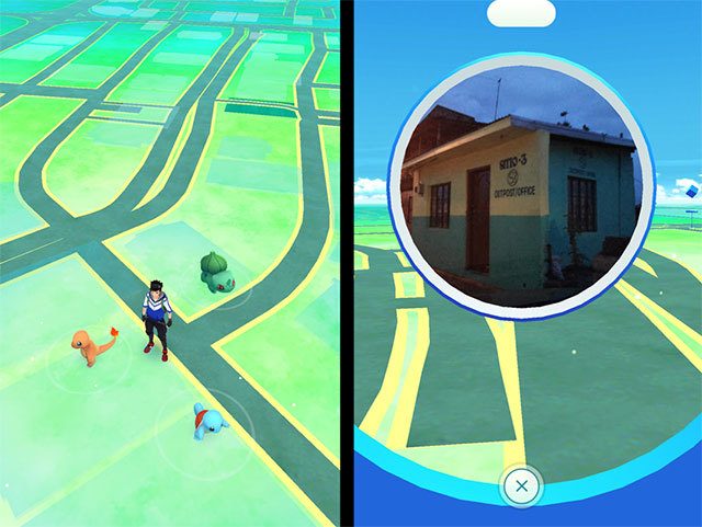
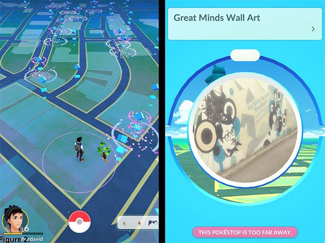
⦁ While hunting goodies in the game, kids discovered public art and landmarks that they never knew existed in their neighborhoods.
The effects are mixed as we “catch ‘em all.” And everyone’s been caught.
Why and how is this new geography being unraveled? What potential is being signified by this type of space?
The why and how behind the what and where
Here’s the first curiosity: why do some places have more advantages (e.g., Pokéstops) than others? Why are there disparities? There are two factors:
(1) the number of amenities, establishments, and parks
(2) the quality and quantity of map data
You might have noticed that places such as the central business districts of the cities of Makati, Pasig, Taguig, and Quezon tend to have more Pokéstops. The mere concentration of economic and recreational activities makes the advantage possible.
Parks, such as Quezon Memorial Circle, and districts with large public spaces, such as UP Diliman, also have an overwhelming advantage. On a side note, this situation helps us notice the utter lack of public spaces and street interconnectivity in our cities.
But none of these would be possible without crowdsourced map data. The quality and quantity of such map data, also known as geospatial data, can determine how many Pokéstops and gyms your neighborhood can host. Your city can have all the amenities, parks, and other destinations in the world; but your Pokémon Go experience will be handicapped if your city is not well mapped.
Here is a tip: you can help improve the geospatial data in your area by contributing to Google Maps. There’s an option for that through a button on the top left of your Google Maps viewer.
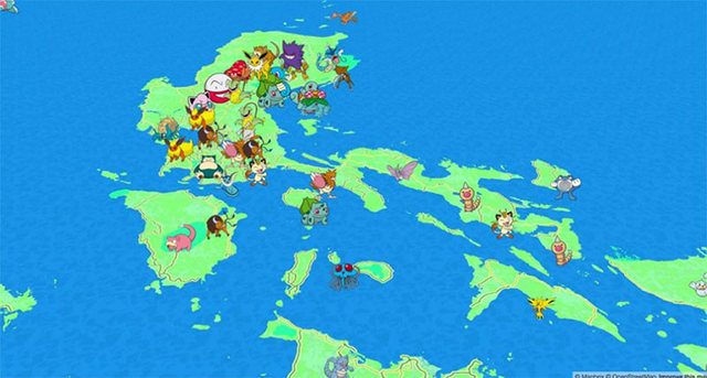
Constructing such geospatial world took a long time to build. The architecture behind Pokémon Go’s mapping technology came from a startup named Keyhole more than a decade ago. Keyhole later became Google Maps. Keyhole’s founder, John Hanke, left Google later to develop location-based games such as Field Trip and Ingress, both of which became the basis of Pokémon Go. The crafting of similar apps is likely to continue in the foreseeable future, as the geospatial industry remains lucrative with annual profits in billions of dollars. In that trend, users can create new geospatial experiences, such as the one below.
So what?
Here’s the second curiosity: can Pokémon Go help people improve the city in more genuine ways? No, it’s not able to do that in its current form. The app is not designed in a way that goes beyond merely informing people about geographic features. But the use of similar geospatial technologies enables people to go from informing to consulting, deciding together, and acting together. Let’s look at recent examples.
When an earthquake devastated Haiti in 2010, crisis mappers geotagged tweets and other reports. Ushahidi, through an app and collaboration platform, helped volunteers and organizations map, decide, and act on requests for humanitarian provision.
Also, when Super Typhoon Yolanda (international name: Haiyan) was approaching Eastern Visayas in 2013, hundreds of volunteer mappers around the world organized “mapathons”. They digitized the areas that the cyclone was going to hit. They did that before and after the landfall. Hence, such maps were crucial for both residents and ground teams (including our team in Guiuan, Eastern Samar) in doing response, recovery, and rehabilitation work. The free, open, and accessible geospatial data saved and helped a lot of lives and families.
Through a collaborative geospatial platform, the public, instead of being mere receivers of map data, become active producers of geographic knowledge. That made a lot of difference.
What are the other possibilities for us here in the Philippines? We can use this new experience not only in wayfinding and gaming, but also in future placemaking and emergencies. Here are a few musings:
-
Local governments could use similar approaches to organize community events, and make people care enough about the urban commons
-
Using the technology can help people find, talk, decide, and act on urban problems; and kick the local government into action
-
After the strong earthquake strikes Metro Manila, a similar smartphone app, with a pre-loaded map of places for assembly, evacuation, and temporary shelter, can help lead people to safety
Here is another tip: help map your town through www.openstreetmap.org and help build OSM as the largest, free, open, and accessible map of the world. Project NOAH is helping OSM do that for disaster preparedness, and you can do your part here: www.blog.noah.dost.gov.ph.
Spatial is special
Back then, we thought that digital technology could render space irrelevant, and draw people away from immersing in places just because their eyes are glued on their smartphone screens. In Pokémon Go, people’s eyes are still glued that way; but users are encountering and “discovering” heritage sites, landmarks, and other places of interest while using it. What happened instead is a strengthening of the local experience and helping us realize that even in a digital age, spatial is special.
For now, Pokémon Go’s gamified experience of public spaces seems to be shallow and trivial. But look at the new experiences it signifies: new geographies of information and information on new geographies. That landscape, where the virtual and the real are merging, looks exciting.
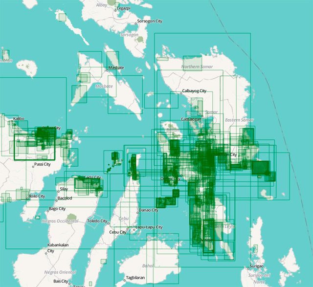
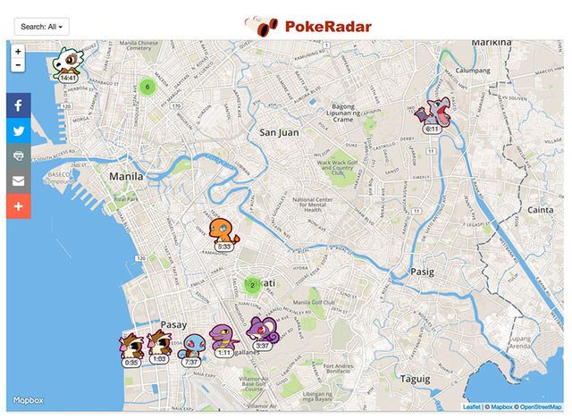
(Final tip: Below is a preview of a cool map, powered by OpenStreetMap, in www.pokemonradargo.com that can help you to be the very best, like no one ever was.)
– Rappler.com
David Garcia is a geographer and urban planner. His work is on cartographies of cities, crises, and climate change.
Add a comment
How does this make you feel?
There are no comments yet. Add your comment to start the conversation.